

When penguin colonies are surrounded by sea ice, the penguins tend to eat more fish, rather than krill. And colonies that eat more fish are more successful at sustaining their numbers.
Articles on Remote sensing
Displaying 1 - 20 of 33 articles
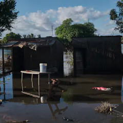
Flooding alters the environment in ways that favour malaria transmission.
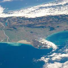
Satellite remote sensing allows rapid, detailed disaster response and planning. But the rules governing who controls and has access to the data aren’t keeping up.

Aerial lidar raises ethical questions because it can collect data remotely without the knowledge or consent of Indigenous and descendant populations that are on the ground.
Decades of experimentation revealed slow ecological processes and long-term interactions that have international scientific value.
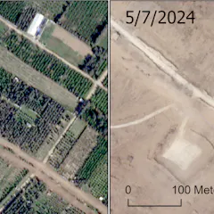
Most of Gaza’s olive trees, citrus trees and greenhouses have been destroyed.
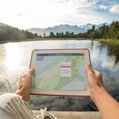
Technologies such as remote sensing and artificial intelligence are making it easier to gather more accurate data on biodiversity. Developing these digital tools will help vital ecosystem restoration.
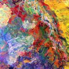
The United States Geological Survey has a vast collection of satellite images capturing breathtaking geological features of our planet. As a geologist, I’ve picked eight of the most fascinating.
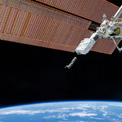
Private satellite companies have boomed in recent years, and many experts have wondered what role they would play in a conflict. They have proved to be invaluable to Ukraine in recent months.
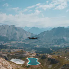
From discovering hidden populations of vulnerable newts to dropping “seed bombs”, two new research papers show how genomics and drones help restore threatened ecosystems.
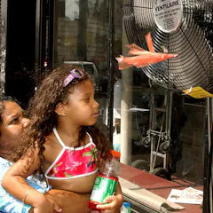
Extreme heat waves are putting lives in danger, with some of the hottest urban neighborhoods 10 degrees hotter or more than their wealthier neighbors. Often, these are communities of color.
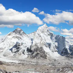
Remote sensing satellites provide the crucial data that helps scientists model disasters so that they can work on predicting avalanche patterns in future.
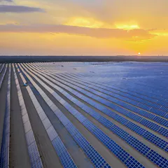
Our data provides a common benchmark unbiased by reporting from companies or governments.
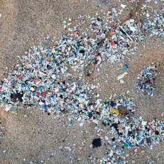
New research suggests that an effective way to locate and track large concentrations of microplastics in the ocean could be from high in the sky.
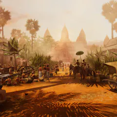
Combining archaeological evidence, aerial scans and machine learning algorithms, researchers modeled how this medieval city grew over time.

Archaeologists used to dig primarily at sites that were easy to find thanks to obvious visual clues. But technology – and listening to local people – plays a much bigger role now.

Hundreds of organizations are working around the world to restore damaged coral reefs. New research shows that rapid ocean warming threatens these efforts.
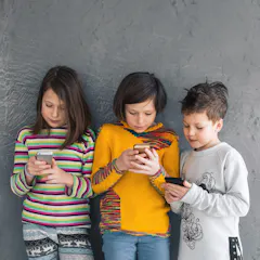
In our increasingly datafied world, there is a clear need to develop and disseminate responsible approaches for handling data for and about children.
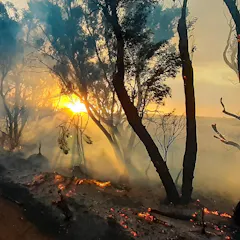
A scientist whose Kangaroo Island home was threatened by the summer’s bushfires says there is a ‘knowledge gap’ between satellite data and useful maps that can protect communities.
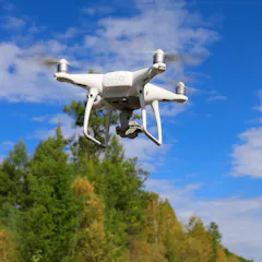
Drones have proven extremely useful for research, collecting detailed data to help monitor hard-to-access areas.
Top contributors
-

Professor of Sustainability, Azim Premji University
-
Boswell Distinguished Professor of Global Health, DePauw University
-
Chief Scientist at SA Weather Service: Nowcasting and very short range forecasting and part-time lecturer at the University of Pretoria, University of Pretoria
-
Social Scientist, University of Waikato
-
Reader in prehistoric archaeology, University of Bristol
-
Professor and Associate Dean Research of Faculty of Creative Industries, Education and Social Justice, Queensland University of Technology
-
Senior Researcher, Agricultural Research Council - Animal Production, University of KwaZulu-Natal
-
Post Doctoral Fellow, Ashoka Trust for Research Ecology and Environment
-
Research Fellow in Restoration Ecology, University of Waikato
-
Assistant Professor of Geography, Michigan State University
-
Professor of Strategic Design, Queensland University of Technology
-
Professor Emeritus of Ecosystem Science and Sustainability, Colorado State University
-
Senior Research Fellow, University of Canterbury
-
Professor of Distributed Systems & Chair in Applied Data Sciences, Queensland University of Technology
-
Reader in Bioengineering, University of Cambridge